May 25, 2010 - On the southern end of Lower Otay Lakes in Chula Vista is a small, pleasant County park. It was at this same location, a loong time ago... let's say about 32 or 33 years ago, that there used to be some pretty righteous parties with live rock and roll music, a few kegs of beer and lots of good friends. I wasn't there, mind you, I just heard about it from some good friends. Anyway, it is at this spot that I recently went for one of my
  walking adventures. I began with a climb up to the top of Otay Lake Trail peak.
It was a very good trail, about a half mile to the top, with some real nice views. Naturally, I could see the beautiful lake that I have come to know over my my years in this area.


 There is also an interesting view looking west over at the 125 Toll Road Bridge. On a clearer day, and with a higher zoom factor, you should be able see the houses in my neighborhood. That whole stretch of green will actually become part of the Otay River Valley Regional Park system.
Also, looking east from the peak, you can see the Donovan Estates or, more accurately, the Donovan State Prison. The truth is, right as I arrived at the top, a VERY loud outbreak of gunbursts ensued.
 I came pretty darn close to throwing myself to the ground with visions of a jail break in my head before I reminded myself that 1) the prison was several miles away and 2) that there is a firing range
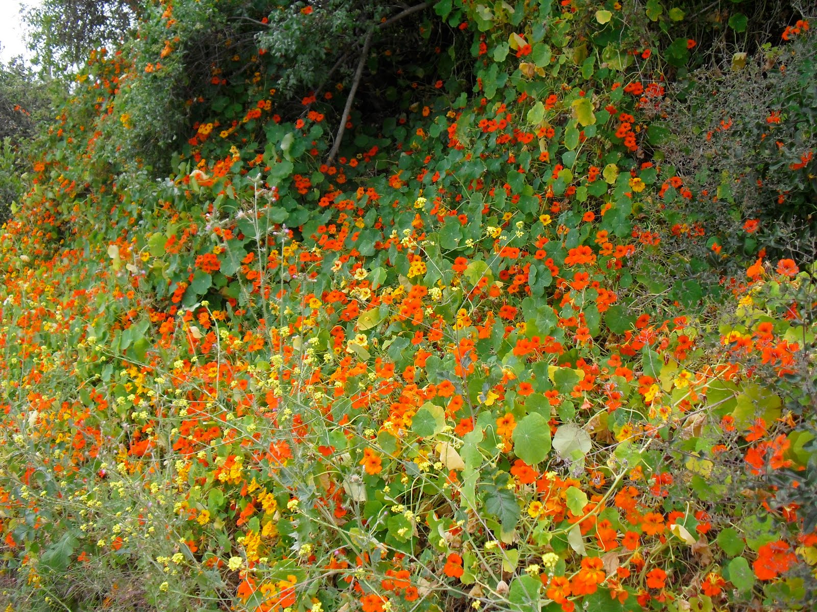
 by the prison. Since it only took me about 45 minutes round trip to return to the base of the peak, I decided to do some further explorations on the surrounding fire roads and trails. I'm glad I did. Not only did I get more much needed exercise (did I tell you my alternate name for this blog is "Walking My Fat Butt Off?"), but my off trail exploration led to me finding this really lush canyon oasis which appears to be where the Otay River Valley ends as it butts up against the hills. That has given me an idea for one my future hikes which will be from my home, eastward under the bridge, all the way to this canyon. Pretty cool, huh? I'll let you know how that goes.
MAP