| July 27, 2010 - Upas Street has been a destination on my "To Hike" list ever since a dog-walker tipped me off to it while trekking around the Florida Canyon Trails (#13). Upas Street runs along the northern border of Balboa Park and seemingly dead-ending by the two Scouts Camps (Boys & Girls) at Vermont Street. Here at the trailhead I found the Balboa Park Trails signs telling me I must be in the right place. Right at the beginning the trail dips downward as it flanks a portion of the Boyscout Camp where camouflaged canopies try to conceal whatever it is that they are up to. A zoomed-in view from my camera told me I might want to speed past this portion of the trail. I quickly came to a footbridge that crosses Highway 163. Cool! On the other side I found a nice winding sidewalk that led up to... ...the Marston House at the northwest end of Balboa Park one block shy of 6th Ave. The Marston House, listed on the National Register of Historic Places, was built in 1905 for prominent businessman and community leader, George W. Marston, and his family. The home is surrounded by rolling lawns, manicured gardens, and canyon pathways. Wilson and I cut through a garden or two and found earthen stairs leading downward out of the back yard. We were a bit surprised to encounter these two powerful and potentially dangerous K-9's. Turning and running was not an option cause they might just chase us down; besides, Wilson looked at me calmly and said that he "had my back." So we ran past them instead and didn't stop until... ...we were stopped by this fence. Wilson, glaring at my triple-x sized rear-end, instructed me to just throw him over the fence and then fend for myself. I'm not sure why Beaver Cleaver came to mind as I was half-way through, on my hands and knees, trying to squeeze myself through the gap. Score one for the big guy though, cause I made it! Ultimately, we escaped back over to the footbridge and found our way back to a side-trail we had spied earlier. And to make a long story short, the rest of the trail was a series of intersecting loops that seemed to crisscross one another occasionally leading to a stairway where we popped our heads out into a neighborhood just like a groundhog. So we looped... ...and crisscrossed... ...and looped... ...and popped our heads out... ...only to turn back down and... ...crisscross some more until... ...we pretty much walked all of the trail that there was to possibly walk on in this corner of the woods. I've come to discover that the "Upas and 6th Gateway" is just one corner (the northwest corner) of a whole system of number/shape/color-coded trails that extend throughout Balboa Park. Five trails to be exact, ranging form 1.5 miles and easy to 6.6 miles and difficult. In fact, Florida Canyon, a quarter-mile down the road, is actually part of the Balboa Park Trails system. More importantly: What in the heck "IS" a Upas? ANSWER: upas (yo̵̅o̅′pəs) noun
Hmmm..., I wonder if the nearby Boyscouts knew that? Come to think of it, I did see a bow and arrow range along the way. Hikers beware! Anyway, after about only an hour and a half, we popped back up out of the canyon to find this nice home on Myrtle way. With the slightest bit of meandering (like simply walking down this pretty little sidewalk) we made our way back to Upas where we parked. Another Great Hike! |                           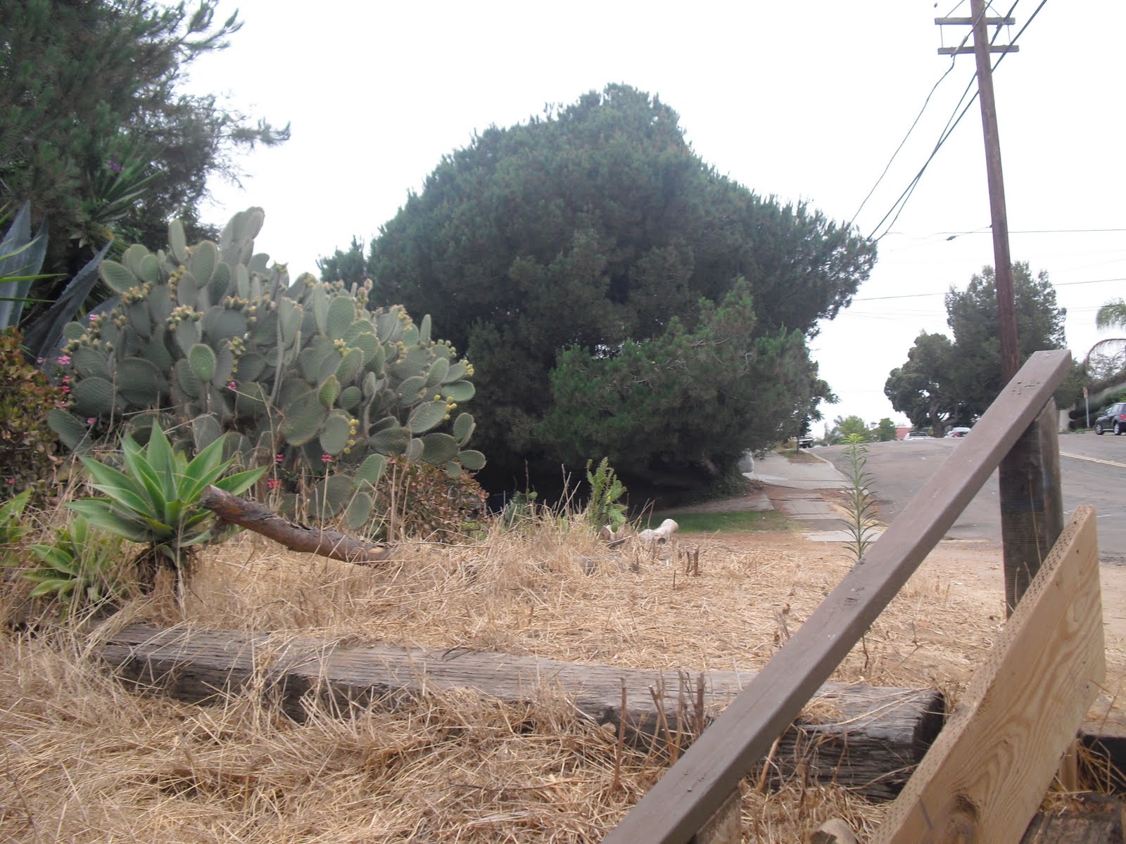             |
Tuesday, July 27, 2010
6th and Upas Gateway; Balboa Park Trails (#26)
Saturday, July 24, 2010
Tijuana River Estuary (#25)
| July 23, 2010- Today I walked at the Tijuana River Estuary accompanied by Wilson and my trusty K-9, Sandy. I parked at the Visitor Center only to find that dogs are not allowed on the small portion of trail there so I walked around the I.B. Sports park and came in from the side entrance. From there, walking back toward the center, I passed a pair of drain pipes that I recall one of my environmentally-inclined children testing for water contaminants some 12 years ago or so. And then I spied the Mariners Point Apartments where we lived about 20 years past. Great location by the way. Just south of the Visitor Center you find the marker for the McCoy Trail. In 1979 Patricia and Michael McCoy founded the Southwest Wetlands Interpretive Association which helped in designating the Tijuana Estuary as a National Estuarine Research Reserve. That happened at a pivotal time in the history of Imperial Beach’s surf culture. In the 1970’s the estuary had been targeted to become a boat marina. To accommodate that, the Army Corps of Engineers had plans to create an underwater breakwater that would have literally destroyed the surf in I.B. They came so close to making that a reality that there was actually a loaded crane barge off-shore ready to come in and drop the boulders. A classic example of good winning out over greed! On that significant side note, we walked on out to the south end of the North McCoy Trail where you find two nice viewing benches. Sandy and I were quite content sitting there taking it all in... ...but Wilson was intensely focused on the bench on the "other" side of the waterway. He no doubt had established our hiking goal. So, we turned around and went back out the way we came in... ...and headed south. To our left was the iconic Naval Helicopter Base. Fortunately it was Sunday so we didn't have the noise bringing down our "oneness with nature" experience. Some ways down we found a turnoff to the River Mouth Loop... ...but we marched forward. Going as far south as possible the trail bent to the right taking us to the River Mouth Loop. From there we cruised in a beachward direction until we made it to this, the most southwesterly bench, at the most primo viewing spot in the estuary. And there we sat, and sat, and sat some more, taking in the incredible views and sounds. Hundreds of birds. The old Tijuana Bullring and lighthouse so close. Looking west we could see the dune separating us from the ocean. In fact we stood at that spot on hike #10 back on June 2nd. After a bit, sensing that Wilson was anxious to get to the bench he saw on the "other" side of the waterway, we moved on and hooked up with the "South" McCoy Trail. And we walked... and walked... and walked... and walked... ...finally arriving at the bench on the "other" side of the waterway. Clearly, based on his visual signs of glee and self-satisfaction, Wilson was a happy stick. And Sandy, also happy, was one "thirsty" dog. After another sit session, appreciating our accomplishment, we stood up, turned around, and looked. And looked. And Looked. And then Sandy, the house pet recently turned hiker dog (on her inaugural hike as a matter of fact) said wearily, and I quote: "Really? REALLY!? You have GOT to be kidding me!" Another GREAT Hike! MAP |                               |
Subscribe to:
Posts (Atom)