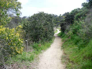
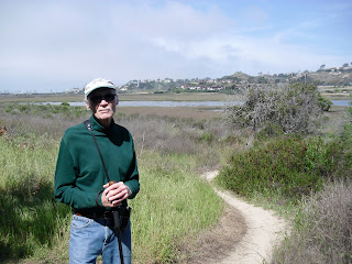
March 15, 2011 - San Elijo Lagoon Ecological Reserve squeezes itself directly between Solana Beach to the south, and Cardiff By the Sea to the north. Today Wilson and I confined our hike within the boundaries created by Interstate 5 and Highway 101, though a large portion of the reserve actually lies in the area to the east of 5. We began our walk on the southwest side of the lagoon where we parked at the end of Rio Street. Wilson acknowledged, unfazed, the familiar snakes & ticks warnings as we strode east on the pleasant path. San Elijo Lagoon is among the way too few wetland areas surviving the onslaught of human progress. Unfortunately this lagoon didn't survive unscathed. In the 1880's when trains came along so did a raised levee which greatly diminished the lagoon's access to the ocean. Still, with over 270 species of birds sighted in this area, San Elijo is a hotspot for bird fanatics. For the most part our walk took us away from the lagoon on a trail named after Gemma Parks, a local environmental activist. We enjoyed stopping at this very nice stone bench commemorating Gemma's contributions. It was a great place to sit and look back out over the lagoon. The trail kept leading south, slightly upward into Holmwood Canyon. Eventually, running into a street at the top of the hill, we stopped, took in the view, and doubled back down the same trail... ...returning to the main path we started on, and continued to head east. I was not expecting the forested area that began to surround us. Wilson urged me... no, actually, he begged me, to bend the rules by ignoring the Keep Out - Unstable Cliffs Signs here. Half way through my lecture on safety and the need to adhere to warning signs along any trail, he begged me to "please stop with the lecture and just keep on walking," which I did. Along the way we met this friendly, yet seemingly protective hawk. When Interstate 5 brought our eastward trek to a halt we decided to head back and find a trail closer to the water. At a split in the trail we naturally veered to the north in the direction of the lagoon. And we're walking, and we're walking and... Whoa! What the heck do we have here? Zoom in please! Now I have to share with you that Wilson has a bad habit of poking at things he finds on the trail. Fortunately, my fail-safe emergency alert system kicked in before he could engage in such unadviseable nonsense: "Run Away, Run Away!!!" Phew, close call! I'm not sure, but that was probably a rare and extremely deadly trail serpent! Either that, or a friendly gopher snake. If you know, please clue me in. Now one of the things high on my list of things I enjoy about hiking is meeting fellow nature lovers on the trail. Today we met one such gentleman, George, a longtime native of this region. An avid birder, who now lives in Idlewild, he shared that this lagoon was a sanctuary for he and his wife to get away from it all. I can see why. When we made it back to our starting point we still had a lot of leg left in us so we went ahead and tromped down the westerly portion of the trail. The trail soon bent northward, paralleling the train tracks, heading in the direction of the Nature Center that George told us about. As the Nature Center came into view it appeared that it was... a) very far away, and b) possibly inaccessible from here. Therefore, we declared our hike complete and stode back to our car. Big smiles filled our faces as we passed by several signs acknowledging local students' involvement in helping to improve the "state of the habitat" here. Another Great Hike! MAP |
|
"Join me and Wilson as we walk/hike, obsessively, around and throughout San Diego County and beyond, while photo-journaling our experiences on this here bloggy-thingy."
Tuesday, March 29, 2011
San Elijo Lagoon - Gemma Parks Trail (#53)
Sunday, March 13, 2011
Elfin Forest (#52)
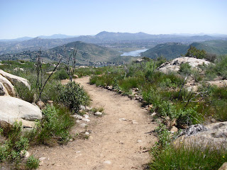
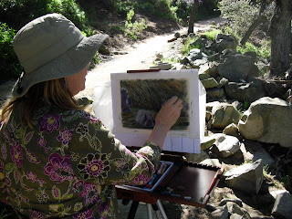
March 9, 2011 - Wilson and I were stoked about today's hike inasmuch as we are both J. R. R. Tolkein fans and "Elfin Forest" sounds like a place straight out of The Hobbit. I was concerned, however, that Wilson was getting carried away when he asked me to brandish him like Gandalf's staff. Moments after we arrived at the trailhead parking lot we ran into Jeff, a dedicated Elfin Forest docent and enthusiast, who explained that the name actually refers to the stature of the surrounding vegetation. That made sense to us; elves and hobbits are short and so is the entirely native flora in these here parts. Great start! We immediately encountered the friendly creek that cuts through this 750-acre recreational reserve in Escondido. In addition to the one-mile botanical loop at the base of the hills here, there are 13 miles of trails to choose from as long as you are willing to commit to the first mile and a half uphill with an elevation gain of about 700 ft. on the appropriately named, "Way Up Trail." Our plan was to take the route, described by Jerry Schad in Afoot & Afield, which would bring us up to the Ridgetop Picnic Area at the Olivenhain Reservoir, and then the additional 1.8 mi. around to the Lake Hodges Overlook for a total out-and-back trip of 7.6 miles. The weather was exceptional and the trail welcomed us with its wide and ruggedly contoured path. The bird serenade was playing full volume as we trekked up and up in the crooked zigzaggy pattern that kept the incline at a bearable level. The hills all around were covered with perhaps the thickest, most healthy chaparral vegetation I have ever seen. Eventually, after one final upward grind, the trail flattened out and we found ourselves at the top... ...and made our way over to Ridgetop Picnic Area. After a quick bathroom stop and a refill of the canteen, it was only a few footsteps more to get to a closer view... ...of Olivenhain Reservoir. The next part of the hike was the trail to Lake Hodges Overlook which began with another fairly steep, rocky climb bringing us to... ...the Del Dios Highlands County Preserve gateway. After a quarter mile on what turned out to be a downward path, I realized this was not the way we wanted to go. Turning around we doubled back up the hill, but not until I got this neat picture looking down at "The Way Up Trail" from a distance. With the friendly vistas of Olivenhain at our side we ended up on the right track. 1.8 more miles to our final destination. Interesting to note, as I learned in Schad's Afoot&Afield, that this reservoir and dam were only recently constructed as a source of emergency water supplies. The water here is also used to generate electricity locally, during times of peak power usage, as it is allowed to flow downward to Lake Hodges. The water can then be pumped back up from the lake to refill Olivenhain. Pretty smart, huh? The easternmost end of the reservoir provided us with another pretty view of Olivenhain... ...followed up with a sharp descent of the trail. In case you were wondering: NO SWIMMING! On the south side now. Getting closer. Turn left here! Finally, Lake Hodges came into view off in the distance. What was REALLY cool here was that we could view both, Olivenhain, to the north of us... ...and Lake Hodges, to the south. Wilson was so impressed that he unilaterally declared this to be our lunch spot. It couldn't get much better than this as far mid-hike rest areas go; and we had it all to ourselves! The return travel was comparable to the trip out, just in reverse order and different lighting on the trail. Our expedition was rewarded with a surprise gift as we landed back at our starting point. It just so happened that Jo-Lind and Doris, two of the most pleasant ladies you'd ever want to meet on a trail, were out for the day rendering their finest artistic renditions of Escondido Creek. I only regret having not formally introduced Wilson, as his feelings were visibly bruised. :( Another Great Hike!! (We'll be back for sure!) MAP |
|
Subscribe to:
Posts (Atom)


